Finding Your Way in Venice Florida
First thing to know: the historic center of Venice Florida is an island separated from the mainland by the Intracoastal Waterway.
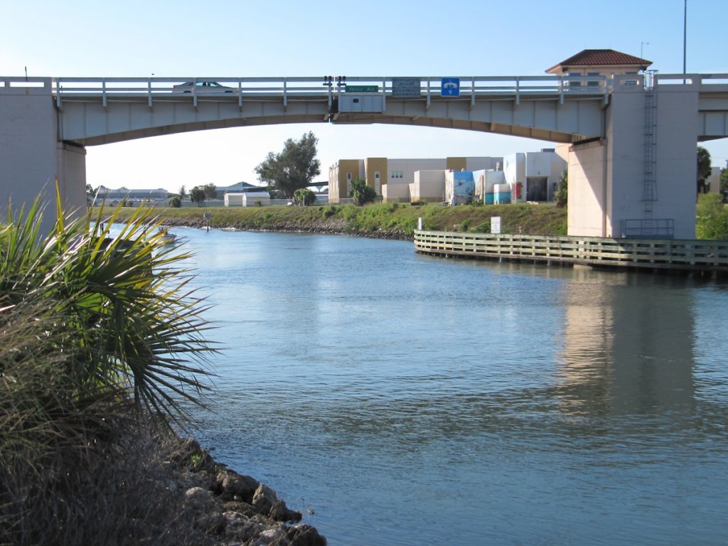
Drawbridges span the Intracoastal Waterway to connect Venice with the mainland.
Maps
Here's my Map of Venice. Click on the box in the top-right corner to see the key to the symbols for locations on the map.
Other maps are available from the Venice Area Chamber of Commerce, including Historic Venice sponsored by the Venice Museum & Archives.
The Island
When you hear Venetians refer to "the island," they're talking about the area west of the Intracoastal Waterway to Venice Beach. The Waterway makes the historic part of Venice Florida an island accessed by three drawbridges (map).
John Nolen's original plan for Venice (1926) didn't include the Waterway—it was excavated in the 1960s, cutting through what is now the Venice Historic District.
Venice Avenue
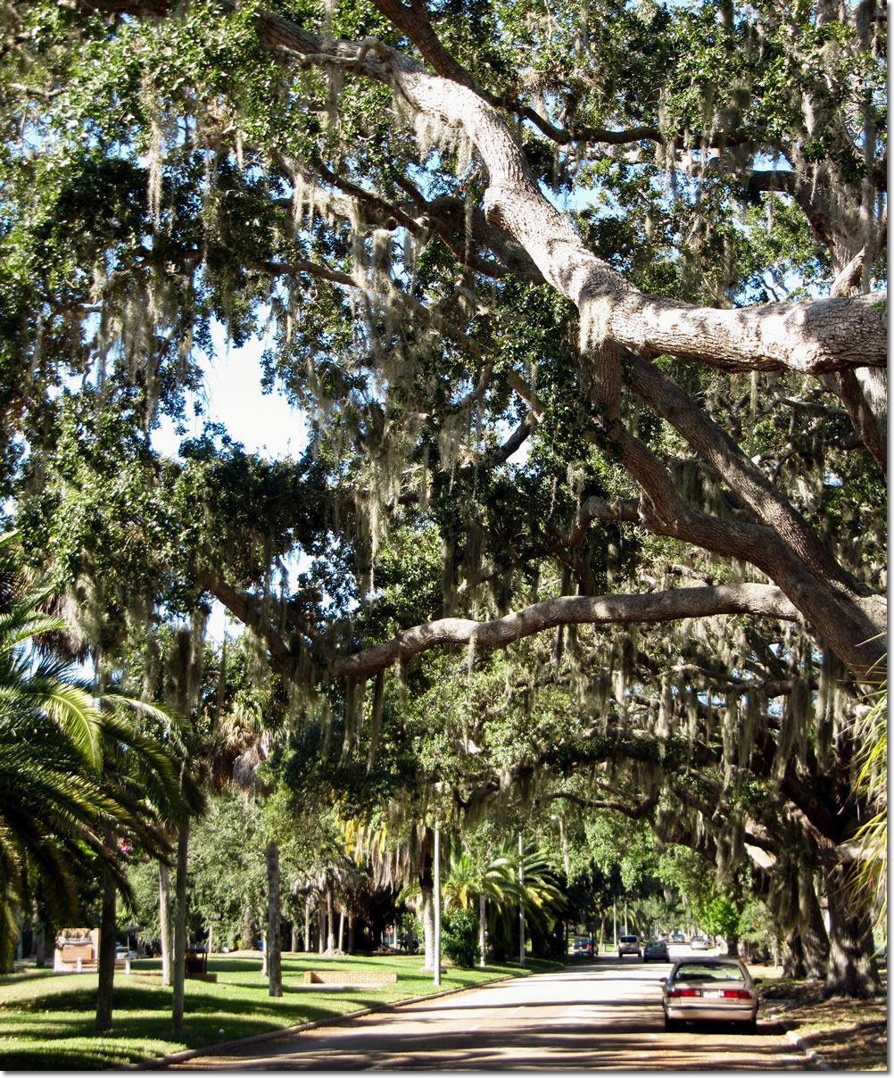
The first grand boulevard to be laid out in John Nolen's master plan, it is now the city's main east-west thoroughfare. West Venice Avenue—west of the Tamiami Trail (US Route 41) one mile to Venice Beach— is the historic strolling and shopping area, with boutiques, ice cream and coffee shops, sidewalk restaurants, and other businesses. West of Harbor Drive, the avenue divides to allow a half-mile-long median park featuring walking paths, huge old banyan trees, plantings and historical markers.
East Venice Avenue, east of the Tamiami Trail (US 41 Business), crosses its own drawbridge across the Intracoastal Waterway and continues eastward for 6.5 miles, through the eastern portion of the Venice Historic District and commercial and gated residential communities all the way to Snook Haven on the Myakka River.

West Venice Avenue:
a tropical linear park.
Tamiami Trail (US 41)
Once a horse track, then a dirt road, the historic route joining Tampa and Miami via "Alligator Alley" through the Everglades is now US Route 41. In 1915, construction began on the Gulf Coast section. The completed highway, named for the two major Florida cities (Tampa and Miami) it connects, was officially opened to traffic in April 1928.
At Venice, the Tamiami Trail splits into US 41 Business, which continues due south, crosses drawbridges to the island, and passes through the center of Venice of historic Venice; and US 41 By-pass, which veers east on the mainland along the eastern side of the Intracoastal Waterway.
US 41 Business
This part of the highway crosses drawbridges at the northern and southern extents of Venice Island and passes through the center of Venice. It's the shortest route to West Venice Avenue, with its shops, restaurants, parks, Venice Theatre, Venice City Hall and office buildings and, at its western end, Venice Beach.
The drawbridge at the northern end of US 41 Business is KMI Bridge, named for the Kentucky Military Institute, which made Venice its winter headquarters from 1932 to 1960. At the southern end of US 41 Business is Circus Bridge in honor of the winter quarters of the Ringling Bros. and Barnum & Bailey Circus, (1959-1990) which were just northwest of Circus Bridge off Ringling Drive South.
US 41 By-pass
Skirting Venice Island to the east, "the by-pass" passes many service businesses: car rental, shopping centers, large stores selling furniture, motor homes, etc., and allows traffic to pas by Venice without having to stop for raised drawbridges.
Interstate 75
From the Canadian border to Miami, I-75 is the new major highway between Tampa and Miami, a fast, limited-access, non-commercial highway, connecting most cities on Florida's western Gulf Coast with south central Florida, Miami and the Atlantic coast.
Intracoastal Waterway
The Intracoastal Waterway, running from Gloucester, Massachusetts, to the Gulf of Mexico, was developed starting in 1909 to keep American shipping safe from ocean storms and from coastal attack during wartime. In the 1960s, the water route was excavated through the heart of historic Venice, making the oldest part of the city an island.
Rarely used for commerce, this section is maintained mostly for pleasure boats. Between the historic Venice Depot in the north to the Shamrock Park & Nature Center in South Venice, the waterway's banks are the Venice Waterway Park, walking and biking paths along both banks. Originally managed by Venice Area Beautification, Inc., the park is now maintained by Sarasota County Parks, Recreation & Natural Resources.
Access points equipped with information signs and maps, picnic tables and parking lots, provide an easy way to get to the paths.

